Accessible Walking Routes
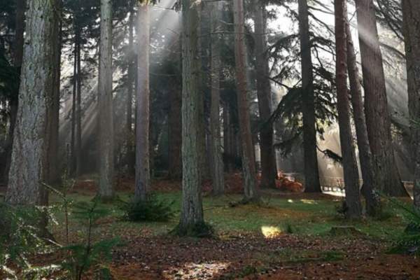
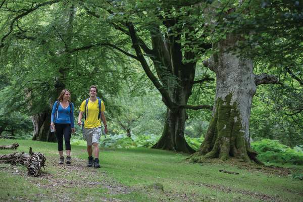
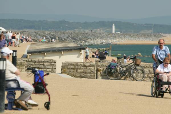
Whether you want to enjoy the beautiful scenery of the stunning heathland, the magical woodlands or the secret coastline in the New Forest, we have made every effort to make sure that everyone can enjoy the New Forest regardless of their mobility.
Throughout the New Forest, there are designated accessible footpaths provided by Forestry England. Details of these waymarked walks can be found below.
These routes take a variety of distances from the 300 metre, such as our Janesmoor Pond route, to the longer routes, including our Hordle Cliffs walk.
Here are some of our most accessible routes:
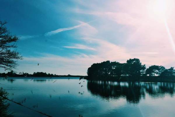
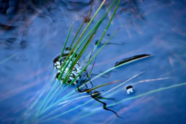
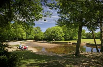
This 300 metre route takes you around Janesmoor Pond, just south of Fritham. The walk is on firm, slightly undulating grass and has a difficulty level of 1.
Nearby to this location you will find what was the Stoney Cross airfield, a former WW2 airfield that was used by USAF bombers and later RAF transport planes. Today most of the airfield concrete has been removed and the forest restored. At the Stoney Cross Plain car park you will find a memorial plaque and a large map of how the huge airfield was laid out.
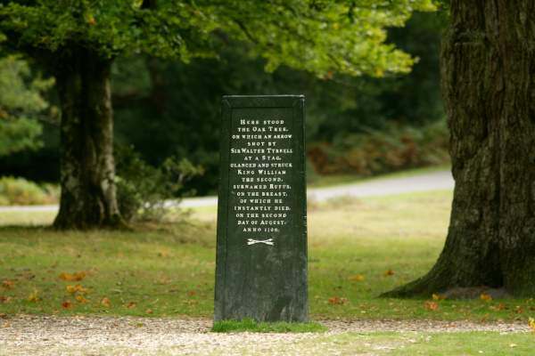
The Rufus Stone marks the alleged site of the demise of King William II (Rufus) by arrow. It is a very short walk from the car park on a good gravel path and the legend on the iron-clad stone is worth the effort.
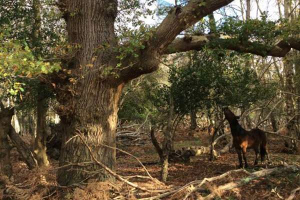
Knightwood Oak is believed to be the oldest oak tree in the New Forest. Near to Lyndhurst, follow onto the Bolderwood Arboretum Ornamental Drive and the Knightwood Oak car park is a little way up on the left. There is one space here for Blue Badge holders. There are also several seats along the way. Should you wish to extend your visit then it could be combined with a trip to the nearby deer-viewing platform at Bolderwood.
There are two options for routes at Cadman’s Pool; a shorter 500 metre walk from the car park and around the pool on firm grass, gravel and a concrete path or the longer 0.9 mile route. The longer route is also an easy walk and is from the car park, across the road to Ocknell Pond, a seasonal waterhole. Once across the road follow the path on the left.
Slightly longer accessible walks:
There are several circular easy-going walking trails from the car park. They are all very pleasant woodland walks on a good gravel or firm grass/gravel surface. The main route is 1.4 miles long.
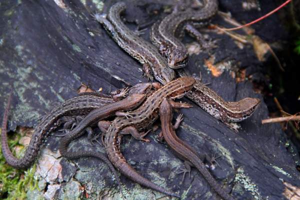
The Reptile Centre is off the A35, 2 miles southwest of Lyndhurst. The Centre is accessible on good, compacted gravel paths. The reptile pits are easy to view for small children and from a wheelchair. Best visited on a warm summer day when the reptiles, which are all found in the UK, are more active and easier to spot. You can either do a 1.1 mile or 1.4 mile route here.
Bolderwood: Jubilee Grove Trail
Wander around this beautiful part of the New Forest. See if you can spot any deer in the fields, and visit majestic trees! This path is a fairly smoothed gravelled surface, with some gentle slopes on the route.
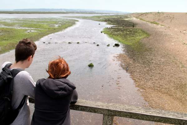
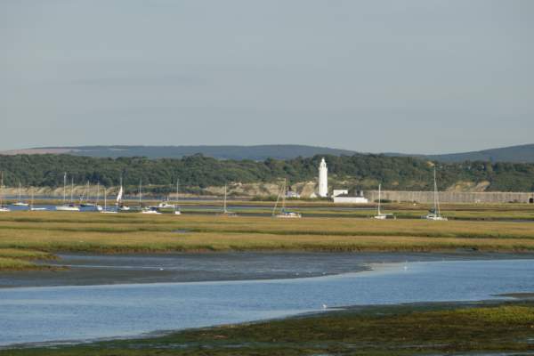
New Forest Access For All created this 1.9 mile easy-going walk which runs from Keyhaven’s car park. Take in views of Keyhaven harbour, the Solent and see how many species of wetland bird you can spot.
This is another easy-going walk in the Milford on Sea area. The route is 1.9 miles and follows by Sturt Pond, a tidal inlet that is a haven for coastal birds.
Accessible routes over two miles:
Hordle Cliffs is found west of the centre of Milford on Sea. There are two easy-going walks here, one two miles and the other 2.6 miles. One of the walks has a difficulty level of 1 whereas the second walk is graded at level 3.
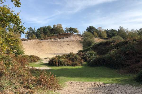
Follow this trail around an area of 15 acres of beautiful open heathland and woodland, with ponies and cattle wandering by. The Rockford Common shorter loop is on well-made gravel tracks, ideal for those with reduced mobility and/or making use of a mobility scooter. To follow the shorter loop, cut out the additional loop at the bottom of the map, starting at the triangle/woodland path, and continue the route from there.
Additional information on accessibility in the New Forest
Additional accessible walks can be found on The New Forest National Park Authority’s website.
For further details on accessibility in the New Forest, including things to do, accommodation and more click here.
Accessible routes to follow...
Distance: 2.8 miles (4.5 km) Start: Fawley town square bus stop Grid SZ 458 032 Postcode SO45 1EA. what3words ///mountains.poppy.perfected This walk is great for families with young children, starting from Fawley town centre and following a…
Distance: 2.8 miles (4.5 km) Start: Ashurst New Forest railway station or bus stop; Grid SU334 101, Postcode SO40 7AA. what3words ///choirs.haircuts.pictured From Ashurst railway station this short and easy walk explores a variety of landscapes that…
Distance: 0.7 miles (1.1 km) Start: Blackwater car park, Grid ref. SU 268 047 what3words ///crawler.secure.respected An easy waymarked circular walk through the Arboretum to experience the woodland and take in the variety of tree species. There are regular seats with…
PLEASE NOTE, there is currently no walking access through the back of the Blackwater Arboretum until mid August. Distance: 1.1 miles (1.8 km) Start: Blackwater car park, Grid ref. SU 268 047 what3words ///crawler.secure.respected This is an easy walk through…
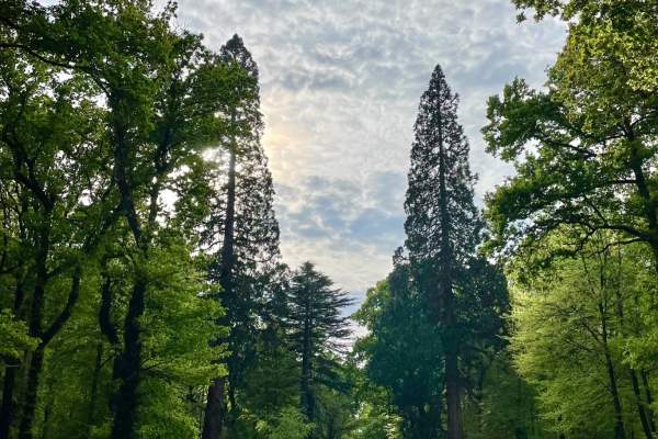
Distance: 1.4 miles (2.3 km) Start: Blackwater car park, Grid ref. SU 268 047. what3words ///crawler.secure.respected Stimulate your senses on this short but wonderful trail around the Tall Trees Walks. This walk takes you past majestic conifers planted in the…
Distance: 1 mile (1.6 km) Start: Bolderwood car park, grid ref SU 243 086, no postcode. what3words ///shell.frog.reserving Starting from Bolderwood car park this meandering route leads you past the deer fields and some majestic trees, the oldest of which date…
500 Metres Cadman's Pool : what3words ///resurgent.bitter.flamenco This is a New Forest Access for All route. Great for picnics during your gentle walk, or just to sit and enjoy the view of the Pool. Take a short stroll around Cadmans Pool and enjoy the…
1.9 Miles This is a New Forest Access For All route. Hatchet Pond is the largest area of fresh water in the New Forest, which is located just outside the quaint village of Beaulieu. It is very beautiful and can be enjoyed on this easy trail. There are benches along the way…
2 Miles Milford on Sea is on the New Forest boundary 4 miles south west of Lymington on the B3058. An excellent walk starting on a sealed surface of fine gravel embedded in tarmac, with wonderful views of the Solent and the Isle of Wight. Then following the more rural…
300 Metres This is a New Forest Access For All route. This is an easy walk around the Pond, enjoying the views of the water. Janesmoor Pond is located just south of Fritham on the road to Stoney Cross. what3words ///bachelor.tilting.gong Click for PDF of route and more…
1.9 Miles Keyhaven is approached from Milford on Sea. It is a small village with a very pretty harbour. There are easy walks along the sea wall with views of Keyhaven harbour, the Isle of Wight and Hurst Spit. The area is a good spot for bird watching. Keyhaven Car Park…
1.1 Miles Starting point from the New Forest Reptile Centre Car Park what3words ///oldest.brambles.bared The New Forest Reptile Centre is open all summer until the end of September Opening times of the Reptile Centre are seasonal. Please see the Forestry England website for…
Distance: 2.5 miles (4 km) Start: Rockford Common Car Park, Grid reference – SU164083, BH24 3NF what3words ///spillage.spacing.legal Rockford Common is an area of open heathland and woodland, grazed by livestock belonging to local commoners. The area is…
0.2 Miles Starting point : Rufus Stone Car Park what3words ///kite.visits.cuddled This is a New Forest Access For All route. The Rufus Stone is a very short walk from the car park on a good gravel path and the legend on the stone is worth the effort. The Rufus Stone marks the…
1.9 Miles Start : Hurst Road East Car Park what3words ///encroach.adhesive.bigger This is an Access for All Easy-Going Walk. Milford-on-Sea is on the New Forest boundary 4 miles south west of Lymington on the B3058. It has a shingle beach and great views of the Solent and the…
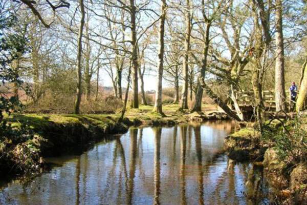
Distance: 1 mile (1.6 km) Start: Whitefield Moor car park, grid ref SU 274 026, no postcode. what3words ///ideas.dinner.ascendant Starting from Whitefield Moor car park, this walk passes along gravel tracks through a variety of habitats around Ober Water…
Distance: 3.5 miles (5.6 km) Start: Keyhaven green bus stop, SO41 0TG, Grid Ref: SZ 304 916. what3words ///glitter.courier.emotional Along the route there are views across the Solent to the Isle of Wight and the Needles and opportunities to watch the…

