Longer Walks
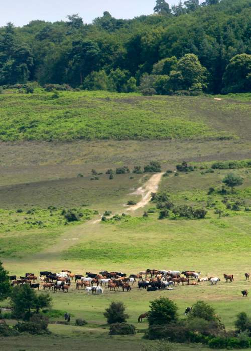
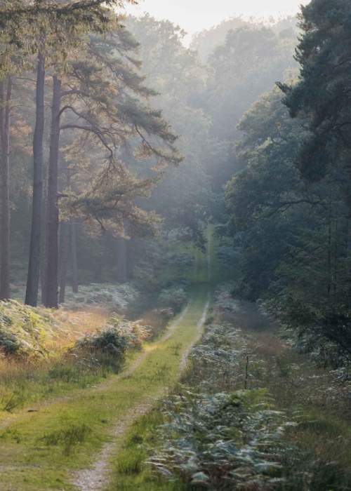
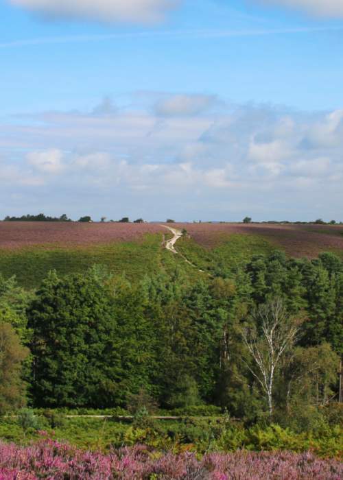
The New Forest is a walker's paradise with more than 140 miles of tracks to explore, all spread across an area spanning 193,000 acres. Whether you are just planning to come for a day to embark on a long walk or perhaps you are thinking of staying for longer, there are some great walking routes available to you. Let us tell you more about some of them…
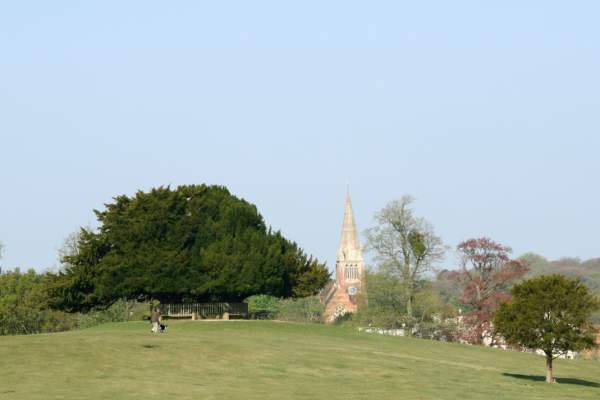
Start this 8.5 mile walk in the heart of Lyndhurst, often referred to as the capital of the New Forest. Your next step is to head towards the clump of trees known as Bolton’s Bench before walking through the Pondhead and Brick Kiln inclosures to the villages of Bank and Emery Down. The route passes by, or close to a variety of pubs that offer ideal refreshment points along the way before bringing you back in a loop to where you started.
This is a great walk to do if you want to get a real feel for the area around Lyndhurst.
Brook to Minstead Village Walk
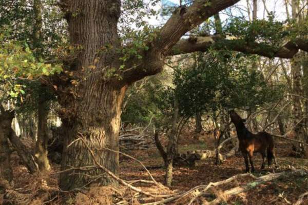
Explore historic monuments and incredible wildlife on this longer route. Enjoy just over 7 miles of strolling amongst ancient woodland, down country lanes and coming across gorgeous forest villages.
This 34 mile walking route begins in the beautiful cathedral city of Salisbury and follows the route of the River Avon as it meanders its way south to Christchurch harbour. The route is steeped in history.
The walk is divided into five separate sections with the middle three sections passing through the New Forest in and around Fordingbridge and Ringwood. Along the way you will pass through some of the small New Forest villages including Woodgreen and Rockford.
Expect to see plenty of nature along the way including wildflowers and water meadows. Birds including lapwing, golden plover and snipe can also be spotted at certain times of the year along parts of the route.
Solent Way Walk
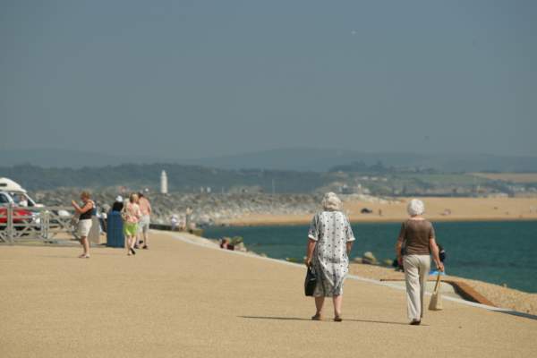
The longest of our walks, the Solent Way stretches from the New Forest town of Milford-on-Sea sixty miles to Emsworth Harbour, east of Portsmouth.
As with the Avon Valley Walk, this route is also divided into sections, this time eight sections. The route is rich in seafaring and maritime history dating back many centuries.
The first three sections of the walk take place through the New Forest. Section one starts in Milford-on-Sea and follows past Keyhaven to the yachting mecca of Lymington. Section two begins in Lymington and brings you inland as you pass through Buckler’s Hard and up the Beaulieu River to Beaulieu itself. The third section begins at Beaulieu to Hythe, overlooking Southampton Water. It is from here that you would then catch the Hythe ferry taking you to the start of the next section on Southampton.
Additional information on walking in the New Forest
If you are keen on doing one of the area’s long-distance walks then there are plenty of places to stay along the way, many of which are signed up to our Walkers Welcome scheme.
The New Forest National Park is a wonderful place to visit and you can help it stay that way by being a Forest friendly visitor.
To minimise disturbance to wildlife, livestock and other people, please keep your dogs close by you and visible at all times – if necessary use a lead. Pick up after your dog, especially around car parks, on paths and where people play or picnic, and take bagged waste home if there is no litter bin.
Stay safe by taking note of warning signs and keeping away from work sites and vehicles.
Longer walking routes to follow...
Distance: 2.8 miles (4.5 km) Start: Ashurst New Forest railway station or bus stop; Grid SU334 101, Postcode SO40 7AA. what3words ///choirs.haircuts.pictured From Ashurst railway station this short and easy walk explores a variety of landscapes that…
Distance: 4 miles (6.5 km) Start: Pollards Moor Road bus stop, Copythorne Grid ref. SU 303145, Post code SO40 2NZ what3words ///pink.confronts.songbook This walk starts by passing St Mary's Church before winding through Copythorne Common and its interesting mix of…
Distance: 2.8 miles (4.5 km) Start: Deerleap Car Park, Deerleap Lane, Ashurst, SO40 4UH what3words///funny.occurs.strut This circular walk is perfect for a morning stroll or afternoon adventure. Pass through woodlands and alongside grasslands! With a whole network…
Distance: 3.7 miles (6 km) Start/End: Lymington Town Railway Station, SO41 9AU what3words ///lives.notion.calendars Walk along the Quayside for river views followed by the coastal marshes of the Lymington-Keyhaven Nature Reserve. This is one…
Distance: 6.8 miles (10.9 km) Start: Brockenhurst Railway Station, SO42 7TW what3words ///fulfilled.gladiator.corkscrew From the village of Brockenhurst this walk passes through Roydon Woods nature reserve over Setley Plain and onto Buckland Rings, the site…
Distance: 4.2 miles (6.8 km) Start: Burley Village Bus stop Grid ref. SU 221 031 Postcode BH24 4AB. what3words ///reporting.zealous.cooked This walk starts at the village centre before setting out on a circular walk around the edge of the village. There is a…
Distance: 5.7 miles (9 km) Start: Woodfalls bus stop, near Woodfalls Inn, Grid ref. SU 198 198, Postcode SP5 2NN what3words ///blogs.faced.dumplings The route starts at Woodfalls and follows a section of the Avon Valley Path through fields and woods to the charming…
Distance: 3.6 miles (6 km) Start: Chapel Lane, East Boldre, Brockenhurst SO42 7WP what3words ///voltages.during.games A level, 3.6 mile loop starting at Chapel Stores – a non-profit community shop selling drinks, snacks and ice cream. Alternatively join this…
Distance: 3.5 miles (5.6 km) Start: Keyhaven green bus stop, SO41 0TG, Grid Ref: SZ 304 916. what3words ///glitter.courier.emotional Along the route there are views across the Solent to the Isle of Wight and the Needles and opportunities to watch the…
8.5 Miles Discover the beauty of the parish, start from the thriving village centre, out to Bolton’s Bench and on into the tranquillity beyond. This walk roughly follows the whole outside parish boundary, using the forest as a natural tour guide. On this route you can…
5 miles (if following Spit all the way to Hurst Castle) Starting point : Sea Road Car Park, Milford on Sea what3words ///lamppost.happy.officer For some fresh sea air, try this spectacular coastal walk along Hurst Spit, leading to Hurst Castle. The walk also passes through the…
Distance: 4.5 miles (7 km) Start: The Three Lions, Stuckton, SP6 2HF what3words ///pose.driveway.joystick This trail takes in a tranquil New Forest valley, with views across the Avon Valley and Dorset. The area is a working landscape, with a surprising history of heavy…
Distance: 4.3 miles (6.9 km) Start: Outside the Red Lion pub, Boldre. Grid ref. SZ 988 314 Postcode SO41 8NE. what3words ///sinkhole.dates.goat Beginning in the pretty village of Boldre, this is a peaceful and varied walk through country lanes…
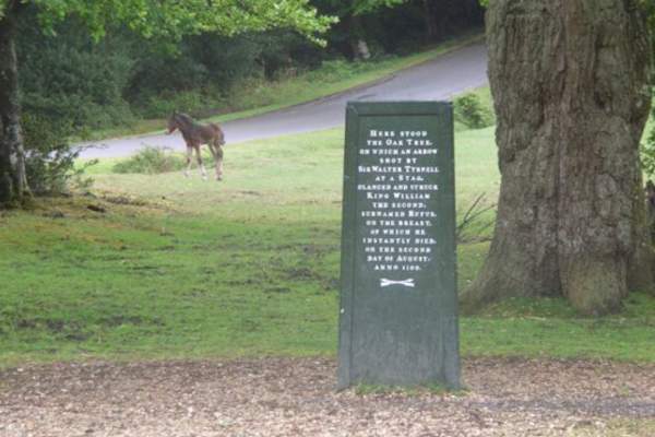
Distance: 7.2 miles (11.6 km) Start: Green Dragon pub and Bell Inn, Brook. Grid ref. SU 273 141 Post code SO43 7HE. what3words ///reframe.sweetener.buzzards Visit the Rufus Stone to discover the mystery surrounding the death of King William II. The route then follows…
Distance: 4.7 mile (7.6 km) Start: Pipers Wait car park, Nomansland, grid ref SU 24937 16562. what3words ///eggplants.kiosk.tripled This is a longer walk, taking you along grassland, following pathways through woodlands and past Eyeworth Pond. This walk offers…
Distance: 3.1 miles (5 km) Start: Standing Hat Inclosure Car Park, Denny Wood, Brockenhurst SO42 7QJ what3words///lows.miles.tabs This is a wonderful walk amongst nature and wildlife. Expect to see beautiful animals and enjoy walking under the canopy of…
Distance: 3.3 mile (5.3 km) Start: Millyford Bridge Car Park, grid ref SU 26780 07859, no postcode. what3words ///weekday.reclining.puffed Follow the pathway through wonderful ancient woodlands, stroll over bridges and under the canopy of trees. This is an easily to…
Distance: 3.5 miles (5.5 km) Start: High Corner Car Park, Linwood, Ringwood, BH24 3QY. what3words///sensitive.intention.elephant Explore wonderful woodlands on this moderate walk from High Corner Car Park. Pass by the High Corner Inn (stop in for a drink or a bite to…
Distance: 3 miles (4.8 km) Start: Appleslade Inclosure Car Park, Ringwood, BH24 3QT what3words///abundance.deeply.introduce Enjoy this wonderful walk under tall trees through the inclosure and along beautiful heathland and grassland. You may see some of our free-roaming…
Distance: 3.6 miles (5.8 km) Start: Ashley Walk car park, Roger Penny Way, Godshill, SP6 2LN what3words ///outbursts.bolts.bucket Explore the wonderful north of the New Forest on this brilliant walk at Ashley Walk. On this walk, you'll discover beautiful views…
Distance: 3.1 miles (5km) Start: Anderwood car park, Lyndhurst Road, Burley, grid ref SU 24894 05782, no postcode what3words///dressings.acrobat.limitless This lovely New Forest walk will take you along gravel tracks, passing by heathlands and into woodlands. Plus…
34 Miles This walking route will take you from Salisbury - one of the most beautiful cathedral cities in England - to Christchurch Priory and the sea, going through the New Forest along the way. This pathway was opened in 1992, named after the river whose course it follows…

